
Surveying & Mapping
Precision aerial mapping, 2D/3D modeling, and photogrammetry for land, mining, infrastructure, and GIS. Save time. Boost accuracy.
- 2D/3D terrain & asset mapping
- Topographic, cadastral, construction surveys
- Mine volume, change detection
- Progress monitoring with digitized outputs
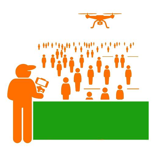
Surveillance & Security
Live drone monitoring for infrastructure, events, disaster response, and perimeter security. Night vision and AI alerts for next-level safety.
- Perimeter & crowd surveillance
- Border, city, or facility security
- Thermal/night vision, disaster response
- Smart video analytics, alerting
AI-Based Solutions
Our AI delivers automated detection, deep analytics, and target tracking for smarter, faster results in every deployment.
- Real-time anomaly detection
- Image & video classification
- Predictive maintenance analytics
- Crowd & traffic analytics
Custom Solutions
Niche challenges? Our engineers tailor drone platforms, payloads, and software to your precise needs.
- Thermal/multispectral payloads
- Custom software & analytics
- Automated workflows
- Training & simulation

Defence
Military-grade drones for rapid deployment, secure communication, and AI-enabled threat detection.
- Reconnaissance & ISR
- Tethered surveillance, radar relay
- Encrypted data links
- Border & base monitoring
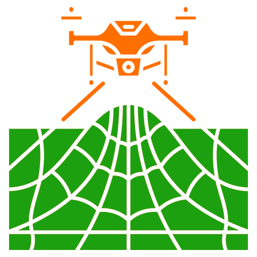
Agriculture
Boost yields and optimize resources with drone-based crop analytics, spraying, and predictive reporting.
- NDVI & multispectral imaging
- Automated precision spraying
- Pest & disease detection
- Yield estimation
Ready to Elevate Your Operations?
Whether you're looking for advanced drone solutions, expert consultation, or simply have a question, our team is here to help. Reach out to us and let's discuss how Aeromatrix Innovation can empower your future.
Contact Our Team